Electronic Navigation
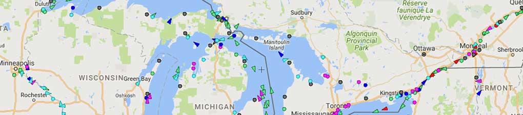
Electronic Navigation: iPad and Android Devices; AIS Program Displayed Below
Register for Electronic Navigation
Classroom Location
Sailcrafters, 7450 Oxford Street, St. Louis Park, MN 55426
Description
We introduce Electronic Navigation in our Coastal Navigation Course (ASA 105). It never seems to be enough to get people totally comfortable. This course definitely puts more tools into your electronic navigation sailing bag!
Paper charts versus electronic devices have flip flopped in priority with paper being the backup. It is an essential backup but nevertheless it is a backup. Sailors for the most part are carrying handheld phones and devices which rival the most advanced chart plotters and GPS devices. Learn how easy these iPad and Android devices are to operate and which programs are reviewed and recommended. Captain Burns brings the background of having edited the "official American Sailing Association" Coastal Navigation textbook by Captain Mike Pyzel in addition to his U.S. Navy background. He is also a Beta Tester for the most popular program out there, iNavX which will soon be released for the Android platform. "My goal in this course is to help you become Navigation Instrument Independent of any charter boat you may step aboard," noted Captain Burns. This is a fun, hands on learning experience! NO TESTING!
Electronic chart navigation means using a software program on a device that is designed to display electronic charts with built in electronic charting tools and a connected GPS receiver (preferably built in) that shows your vessel moving across the chart. There are dozens of such programs available offering various levels of sophistication to assist the navigator in both route planning and navigation underway. Once mastered, these electronic charting systems (ECS) provide the state of the art in navigation safety and efficiency for all vessels, power or sail, commercial or recreational.
But as with all new technology, there is much to be learned before we can take full advantage of all the resources the programs offer. We start with the basics, and oftentimes detailed videos on the functioning of the programs, to learn the essential operations, such as how to load and view charts, and set up optional displays. We learn the tools they offer such as setting waypoints and making routes, measuring range and bearing, using range rings, and more.
We learn that most of the ECS programs will also accept AIS signals telling us the location and motion of nearby traffic, and we learn that ECS offer various alarms and alerts we can set for safe navigation underway.
Much of the basic use we can learn from the static situation of just having our vessel at a fixed location on the chart. Then we have to head out onto the water to see how these resources operate when underway (not part of the course). Ultimately, if you practice with your devices, you will create redundancy which adds to safety while being able to plan, upload and share critical navigation information before you ever step foot on your next bareboat charter in a brand new location to you.
The evening course meets two times. The weekend course meets one time.


Course Outline for Evening Class
Day 1: The big navigation picture. What will these programs do? How can they hurt me? How to set the programs up. Mapping Exercises.
Day 2: Question and answer. Review Exercises. More charting. Details buried in the programs. Integration options.
Course Outline for Weekend Class
The big navigation picture. What will these programs do? How can they hurt me? How to set the programs up. Mapping Exercises. Question and answer. Review Exercises. More charting. Details buried in the programs. Integration options.
Course Fee for Electronic Navigation Classroom Course
$119 includes Electronic Navigation Textbook. $30 discount for couples sharing materials (any two people signing up together). Cancellation Policy
Available for purchase
Navigation instruments by Weems & Plath.
12" Parallel Rules: $20.00 - or - 7" Compact ParaLock Plotter $25.00*
Ultra light 7" dividers: $19.00
Nautical Slide Rule: $19.00
Chart Protractor: $22.00
Chart No. 1: $14.00
Coast Guard Navigation Rules: $13.00
*Both instruments are ideal for chart books. They are lifelong instruments. No S&H or sales tax when purchased with the class.

CLASS SCHEDULE for Electronic Navigation Classroom Course
*Not Currently Offered* (Dates are subject to change)
E2: Saturday 9am-4pm, with lunch break:
Date to be determined
7-hour Saturday session 9am-4pm
E3: Tuesdays 6-9pm:
Dates to be determined
3-hour evening sessions 6-9pm (or as close as possible)
Directions to Sailcrafters
7450 Oxford Street, St. Louis Park, MN 55426
From Hwy 169
Take exit for Hwy 7 East
Hwy 7 east to Louisiana Ave S
At the traffic circle, take the 2nd exit onto Louisiana Ave S
Turn right onto Oxford St, Sailcrafters will be on the right
From Hwy 100
Take exit for Hwy 7 West
Hwy 7 west to Louisiana Ave S
Turn right onto Louisiana Ave S, make a U-turn
At the traffic circle, take the 2nd exit and stay on Louisiana Ave S
Turn right onto Oxford St, Sailcrafters will be on the right.
Prerequisite for this course
None.
Students who are Coastal Navigation Graduates will be much bettered prepared than non-graduates.
Call Northern Breezes Sailing School at 763-542-9707 to register or with questions.